Your guide to hiking Tate’s Cairn
Where three sides of Hong Kong meetInstagram @me.minglau
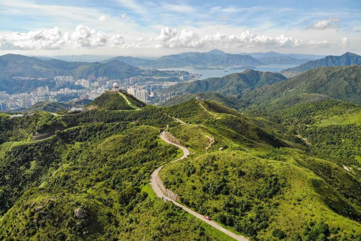
For those who think The Peak is the most dramatic summit overlooking Victoria Harbour, think again. There are some incredible vistas to the north of Kowloon. It may not be as well known, but Tate’s Cairn and the adjacent Kowloon Peak is right up there in terms of grandeur. Conquer this rugged ridge and you will be rewarded with some of Hong Kong’s finest views.
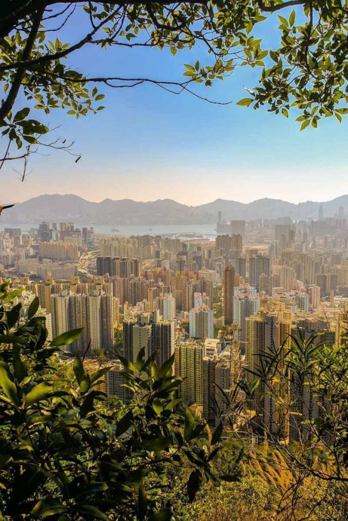
Feel the intense sprawl of Kowloon and enjoy the iconic backdrop of Hong Kong Island behind. Meanwhile, a gaze round the other side reveals Sai Kung Country Park, Sha Tin Valley and the expansive hills of the New Territories. Not only is being at the top incredible, but the journey to get there is really enjoyable.
Read more: How to hike Tai Tam Mound Waterfalls
What you need to know
- 5.5km
- Distance
- 3-4
- Hours
- 583m
- Height
The whole walk should take the best part of three to four hours. Be sure to bring a few snacks and plenty of fluids for consumption along the way as there are no facilities up there. If you are feeling lazy or want shorten the duration, it is possible to cycle, drive or take a taxi up Fei Ngo Shan Road instead. Mid-afternoon is an ideal time to set off, ensuring cooler temperatures and sunset vistas from the summit ridge.
How to get there

MTR: Wong Tai Sin MTR and find exit E to begin climbing up Sha Tin Pass Road
Taxi: Ask to go to Wong Tai Sin Square and find Sha Tin Pass Road
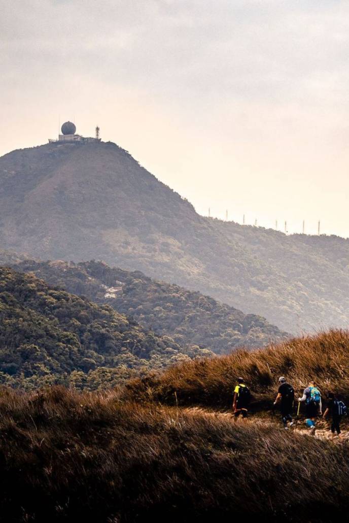
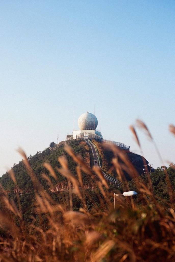
If you want a much shorter stroll, upon reaching the junction between Fei Ngo Shan Road and Jat’s Incline, simply walk back down into Choi Hung via Jat’s Incline. Otherwise, I recommend following Fei Ngo Shan Road to the mountain ridge where the Tate’s Cairn Weather Observatory is located.
Read more: Your guide to hiking Ma On Shan at sunrise
The hike
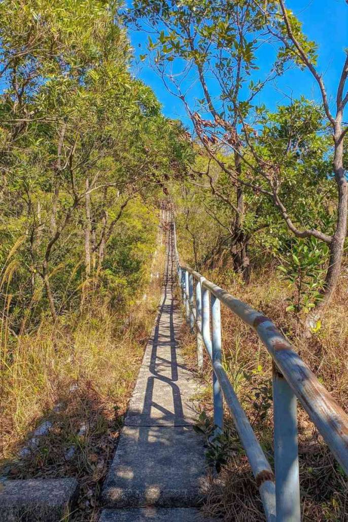
Start at Wong Tai Sin MTR Station exit E and begin climbing up Sha Tin Pass Road. Stay on this road, which gradually rises above the tower blocks of Kowloon. After about 45 minutes of walking, you’ll intercept the Wilson Trail (Stage 4). Turn right and follow the road up towards the ridgeline. Walk through the lush forests of Lion Rock Country Park before emerging upon more grassy terrain. Keep an eye out for wildlife along the way, in particular monkeys.
Upon the reaching the summit of Tate’s Cairn at 583 meters above sea level, the route emerges from undergrowth to reveal unrivaled panoramas of Kowloon and its surrounds. Pose for dramatic photos above large granite outcrops dating back to the Jurassic Period. Or take a perch, soaking up the relaxing vibes as the skies darken and the vibrant lights from the city below come to life.
A quick dash up one of many small tracks running above the road reveals stunning natural vistas over Ma On Shan and the Sai Kung Country Parks—the contrast to Kowloon couldn’t be starker.
The descent
The return route down from Tate’s Cairn is fairly simple—if you want it to be. Keep walking down Fei Ngo Shan Road to Choi Hung if you want to play it safe. Otherwise, there are a few awesome alternatives for onwards adventures which ultimately descend back to town.
For longer walks, remain with the MacLehose or Wilson Trails as long as you wish. However my pick for the super intrepid is the ridge walk over Kowloon Peak, past “Suicide Cliff” and down the East Face to Clearwater Bay.
Be forewarned that this is a very technical and dangerous option, only to be attempted by the most experienced of hikers. If in any doubt whatsoever then take a guide with you or—at the very least—do the route in reverse so that you’re climbing the trickier parts of the route.


